


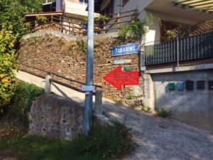
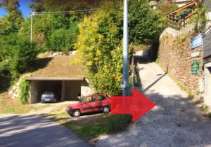
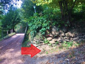
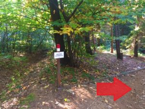
1° stop – TABARINO
This route will be almost naturalistic, with lots of vegetation and in total silence.
The area has been chosen to be an oasis of the WWF, along the way, in fact, you will find about 15 bulletin boards that will give you information on the local flora and fauna (also in English).
There are also two instructional bulletin boards on the origin of Lake Orta and on the conformations of the glaciers that explain why sometimes rare fossils of marine shells are found.
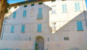
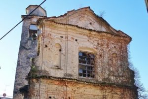
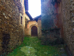
2° stop – CASSANO
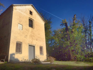
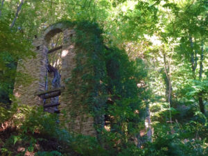
The first part of the route is uphill, but soon leads to the village of Cassano, famous for its church dedicated to San Giovanni Battista. It was the most important among those built “beyond Agogna”, in the Cascine di Ameno.
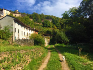
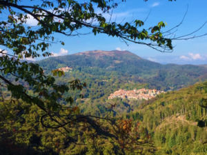
On the other hand, Cassano was a real small village in a wonderful panoramic position with views of Monte Rosa, Ameno and the mountain that divides Lake Orta from Valsesia.
The church, in Baroque style, was built in the sixteenth century in a moment of general religious fervor linked to the Counter-Reformation. Unfortunately, it pays out in total abandonment and degradation; uninhabited is also the building that faces the church and that belonged to the Pecora family, an important family that also gave birth to the Franciscan Giulio Pecora who in 1700 was patriarch of Constantinople!

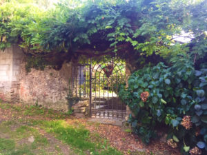
3° stop – CAPPELLA DEL VAGO (VAGO’S CHAPEL)
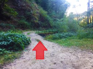
You then exit the built-up area of Cassano and continue climbing up and coming, a little further on, to the Vago chapel.
Here there is a small picnic area with a part also covered and wood-fired barbecue, but unfortunately we could not find a fountain of water!
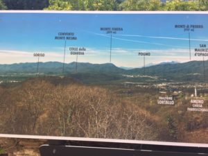
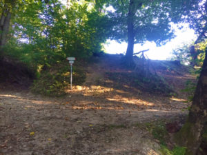
4° stop – ALPE CASCINONE e ALPE MARANDINO
Continuing to walk through the dense woods you can reach the remains of the Alpe Cascinone, where you can admire three centuries-old beech trees, and then to the Alpe Marandino meadow overlooking the Mottarone, the Grigne and the Swiss Alps.
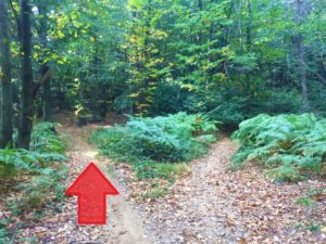
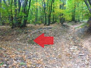
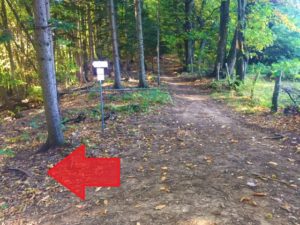
This last stretch is badly reported and you often ask yourself if you missed it or it’s the right way. Sooner or later you will find some signs, do not be afraid!
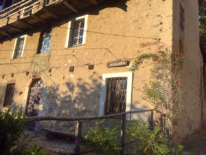
5° stop – SCULERA
Sculera is another of the villages of the hamlet of Amenos farmhouses and also this presents a church of considerable size, if compared to the town. On the facade of the oratory of Sant’Eurosia, there is a plaque commemorating the generous donation of King Vittorio Emanuele II of Savoy for the reconstruction of the village after the tremendous fire that had completely destroyed it.
I read somewhere that June 25 is the feast of the Saint and in this lost place say Mass, procession and enchantment of offers.
6° stop – TACCHINO
The path continues rapidly losing altitude, until reaching the desolate hamlet of Turkey where everything is sadly collapsing.
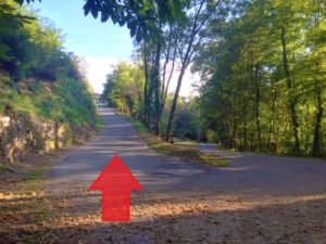
Shortly afterwards we will have to climb over the river Agogna and start a small climb.
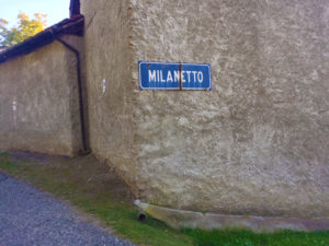
7° stop – MILANETTO e TABARINO
We are not professionals in the field of hiking and walking.
We do it for passion and to offer our guests something more.
Using this qrcode you can download the map directly on your smartphone with the elevation details.
At the link there is also the possibility to download the route for your browser, in different file extension formats.

Otherwise you can download the pdf by clicking here AmenoAnelloIndaco but it is less precise because it is not possible to increase the size of the map.
The paths of the Quadrifoglio di Ameno are all pleasant and not very demanding.
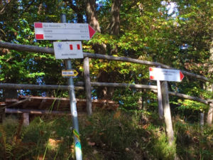
Unfortunately on the website of Ameno tourism the route is poorly explained and it is difficult to find specific maps (the bars and the clubs do not have them, only the tourism office has a reduced opening). I’m not sure I’ve taken the path in the right direction, but on the other hand it’s a ring, so it changes little!
Here you will find the others:
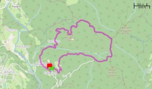
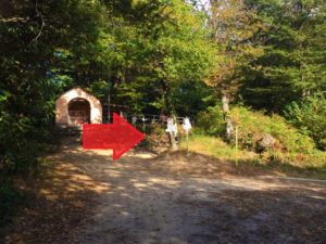
Being a ring route, you can start from where you want. I recommend starting from Tabarino where there is ample free parking and there is the La Faina restaurant, for lunch or a snack on your return.
If you have a polite dog to keep up, 100% of the route can be done without a leash.
Just in front of the parking that I suggested as a starting point there is the Osteria della Faina and will be the only place where you can get something to drink or eat along the way.
The Ameno Turismo website says that the route is feasible at 90% mountain biking and 80% on horseback.
I made this road in July and there were many mosquitoes in the woods. Bring repellent!
 Share with WhatsApp